A great base does not have to be a great destination, as long as it is a pretty and comfortable location, and fairly close to several attractions.
Makarora is one such place.
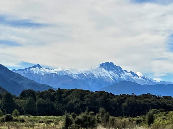
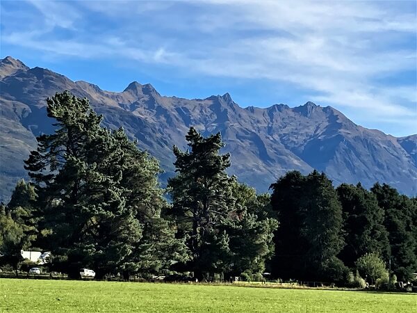
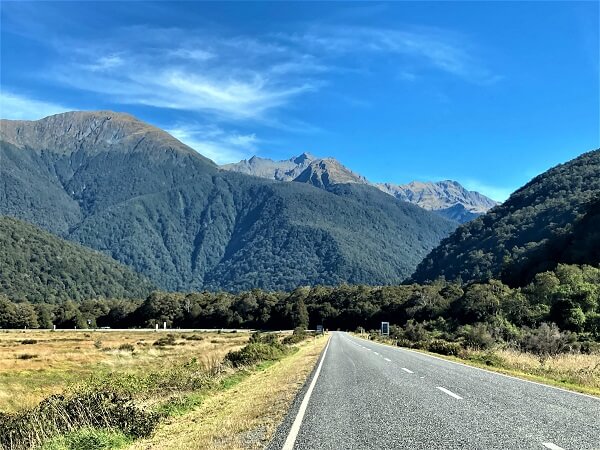
This little village located at the head of Lake Wanaka on the Haast Pass Highway between Wanaka and the West Coast is ideal for exploring the wilderness of Mount Aspiring National Park, a UNESCO World Heritage site.
We drove into Makarora from Twizel, another pretty little village, after exploring the Mount Cook area. We had two days here and were ready to make the best of that time.
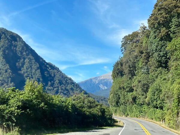
The scenic route from Makarora to Haast has some gorgeous, and easily accessible, waterfalls that pop up at regular intervals. Driving the whole route with stops at the waterfalls and lookout points could be a whole day’s trip or two half days if you plan to spend more time at each stop.
BLUE POOLS TRACK
This awesome destination is just a 10 mins drive from Makarora, and then a 3 km (return) walk which takes about 1 to 1-1/2 hour depending on your walking speed and breaks.
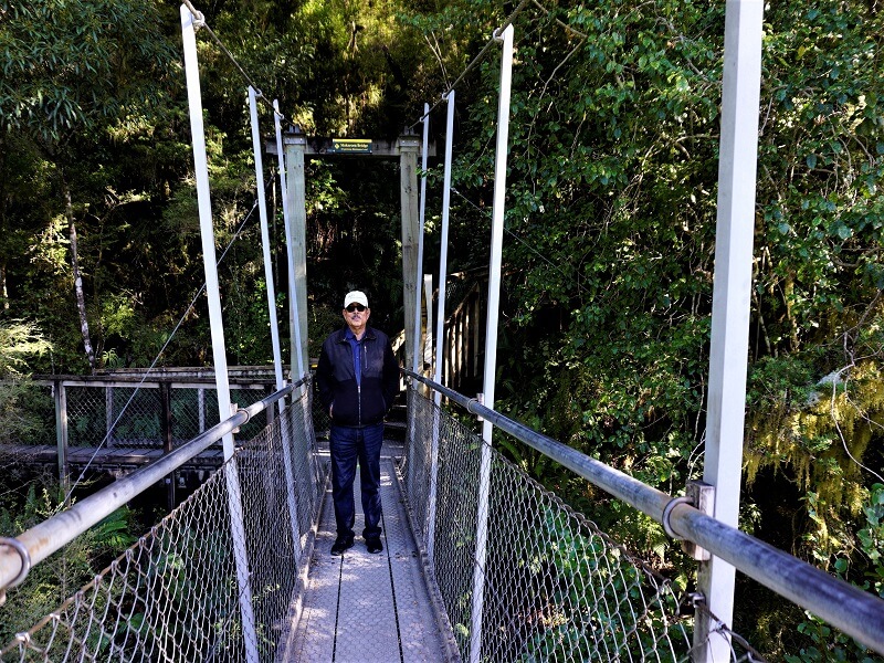
It is an easy track with some occasional slopes, passing through a scenic forest and on to a swing bridge over the Makarora River.
The ancient forest, the old trees and the whole eco-system are preserved and well-maintained by the National Park.
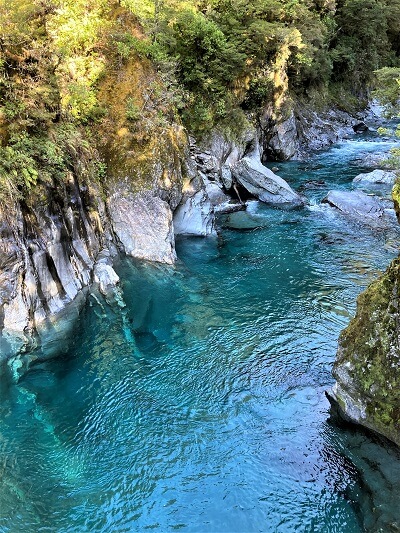
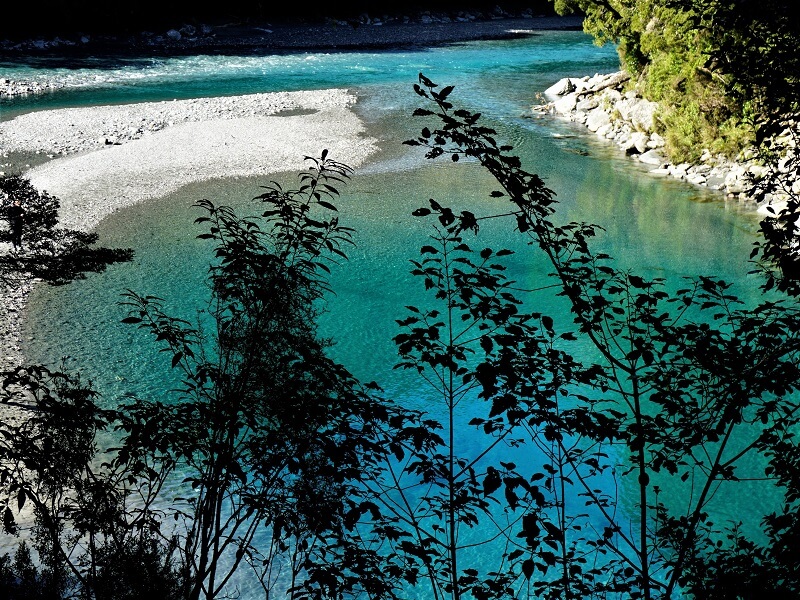
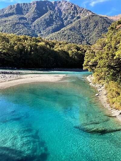
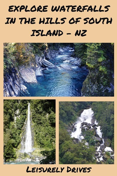
At the end of the track, there are suspended platforms that lead to crystal clear pools which are so clear that you can see the bottom.
The hanging swing bridge is about 15 metres above the water. It is interesting to see several adventurous visitors leap into the cold water for a swim.
Beyond this point, the track continues and a boardwalk leads through the rocky terrain to a viewing platform above the pools. This is where you can get the best shots of the river and the blue water below.
HAAST PASS LOOKOUT / GATES OF HAAST
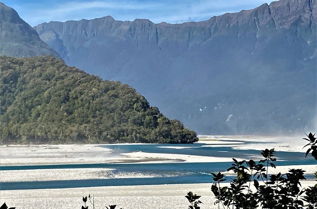
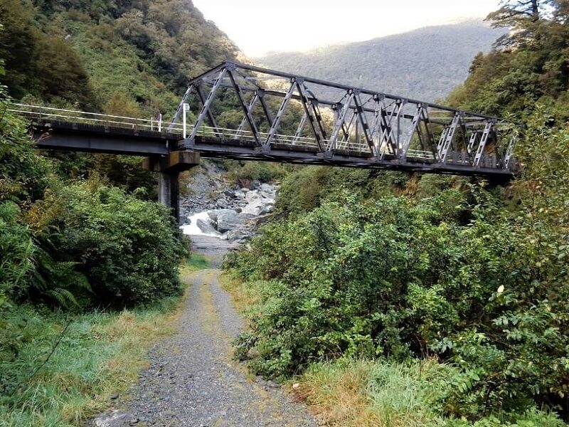
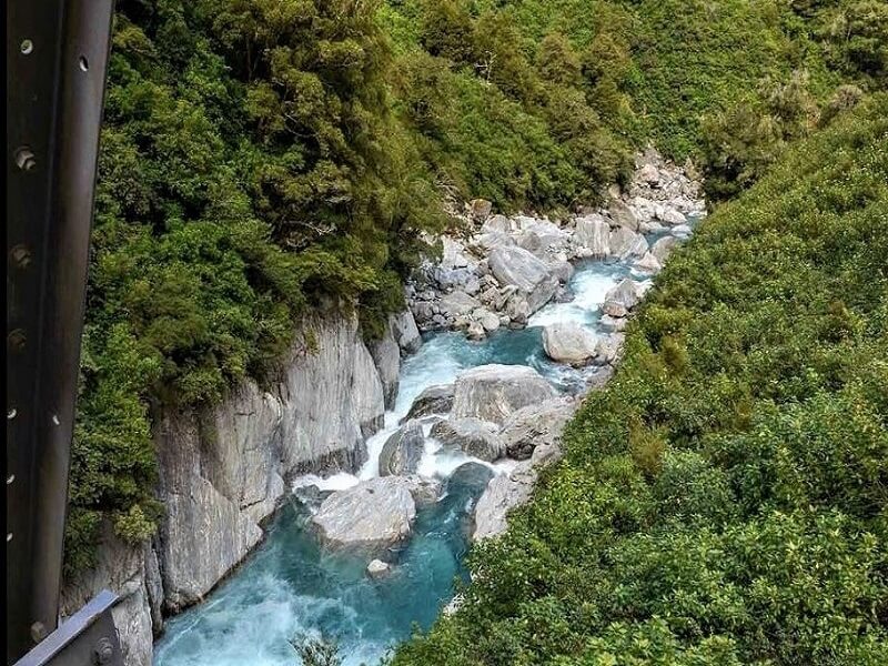
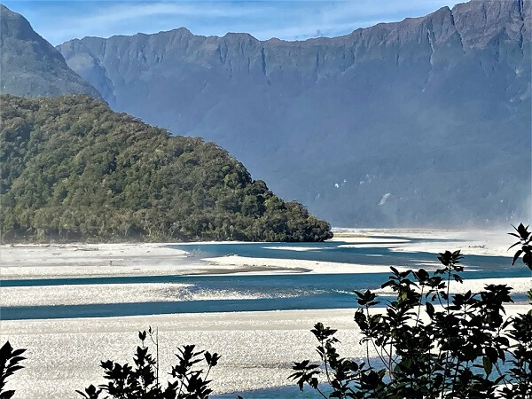
Drive a bit further from the Blue Pools on the main road and you will reach Haast Pass lookout point also known as the Gates of Haast.
This place has no real car park. However, you can pull over close to the bridge. Cross the one lane bridge to get to the steep part of the road. Here you can get some great views of the valley, river and mountains beyond.
FANTAIL FALLS
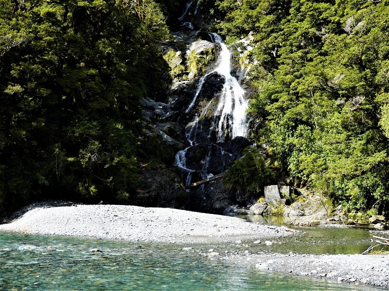
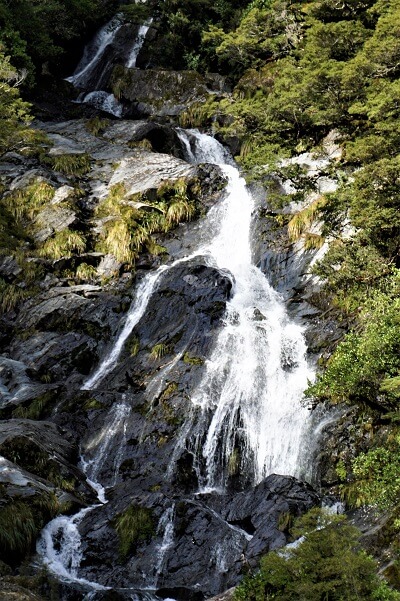
A short drive of 15 mins further gets you to this beautiful waterfall, named after a cute bird in New Zealand.
The walk is literally five minutes from the parking place. There is a pebbly riverbank to cross. You walk over the stones to the river edge and you can get the best view of the Fantail falls! It is across the river and you see it from the edge of water.
The falls are about 23 metres tall, and really gorgeous.
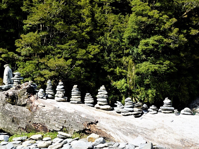
It was interesting to see several stacked rocks on one side of the pebbly river bank, maybe something spiritual or just people at play. You can find such cairns or stacked rocks in many parts of England and America too.
THUNDER CREEK FALLS
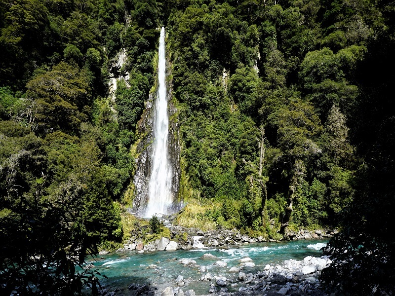
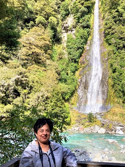
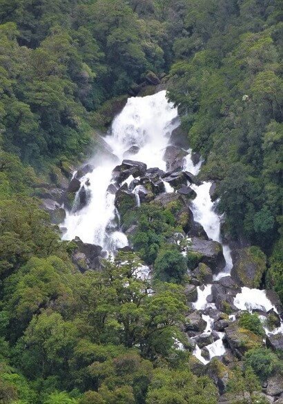
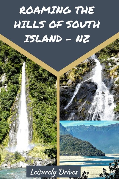
Get back in the car and drive another 10 minutes further and you arrive at the awesome, tall Thunder creek falls – probably the best waterfall on this route.
You get an impressive view across the river and from a viewing platform at the river’s edge. It is also one of the largest waterfalls in this route at 28 metres. It crashes into a small blue pool along a forested hillside.
Sandflies can be an issue in these areas in warmer months. We were lucky we didn’t see any in March.
HAAST RIVER VIEWPOINT
Further down the road from Thunder Creek, you will pass by the Haast River Viewpoint. For the next kilometers, watch out for the contrasting colors of the views – really charming.
ROARING BILLY FALLS
Interesting name, don’t you think? New Zealanders seem to love the word ‘roaring’! We remembered the “Roaring Meg lookout’ on our day trip from Queenstown.
Drive another 30 mins on the highway from Thunder creek falls and you will reach Roaring Billy Falls Walk leading to the falls.
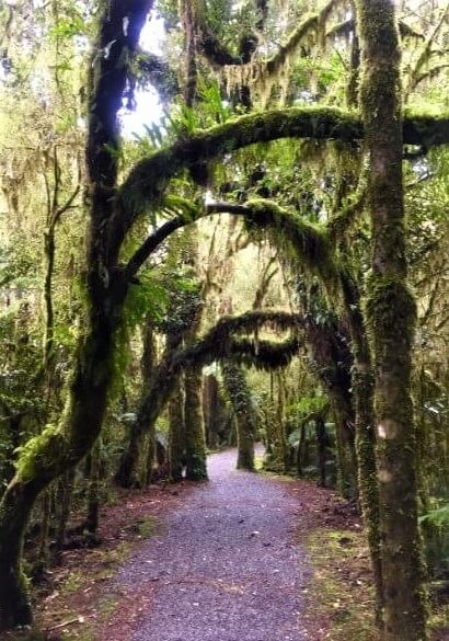
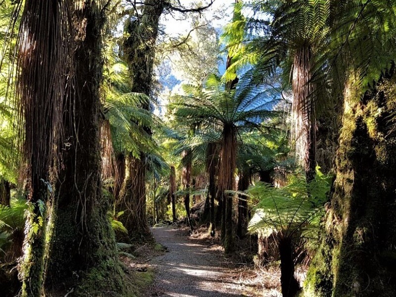
This is a popular route for hiking and walking – easy going, 1.4km, 30 minutes. Parts of this route are very picturesque and pleasant, almost like walking through a botanical garden. There are moss laden trees with branches across the path, tall trees like in a rainforest, and mountainous shrubs too.
After you traverse this lush tropical-looking forest, you reach the broad gravel bed of the Haast river and voila, you see the Roaring Billy falls straight across!
It is a bit far to get a good picture, but if you have a DSLR or a mirrorless camera, you could get a nice zoomed picture.
HAAST
That’s the end of all waterfalls in this route. Drive another 25 mins to reach the end of the Haast River where it almost joins the Tasman Sea. Here’s where the Haast town is.
There is nothing much to explore in this tiny town. However, there are two options – you could drive southward to Jackson’s Bay, or head north towards Fox Glacier and Franz Josef to see more of the beautiful West Coast.
Our awesome day-trip ended and we drove towards Wanaka to explore Lake Wanaka and Lake Hawea regions.

Wow, what stunning natural beauty! I’d love to visit someday.
For a small town there is plenty to see here! The Blue track pools are magnificent, I would love to see this in person. The roaming billy falls look like something from a fairy book especially with those gorgeous trees. I’ve never been to New Zealand or heard of Makarora but I really want to see it for myself one day.
I’ve never heard of South Island, but it looks like such a lovely place to connect to nature. Those blue pools look incredible! Thanks for sharing this off-the-beaten-path destination.
Wow! Spectacular scenery. I was interested in your comment about the small stone stacks (cairns, inukshuks…they go by various names in different parts of the world) left in such a beautiful place. Some people think it is a form of graffiti or vandalism to do this in a place of natural beauty and they destroy them. This certainly happens in some national parks.
I must say that your trip to the South Island Hills of New Zealand sounds simply amazing! With its crystal-clear waters and tranquil surroundings, the Blue Pools Track must have felt like a step into a fairy tale. The Haast River Viewpoint must have provided a wonderful view of nature’s magnificence, allowing you to take in the breathtaking scenery. What an incredible view the Roaring Billy Falls must have had! The roaring gushing of water in the midst of the lush greenery must have left an unforgettable picture in your mind.
Every post I read about New Zealand gets me more excited to finally get there for a long stay. I can see we need to plan some time roaming around the South Island. We would love to find a good base like Makarora for exploring. I love the great variety of beautiful outdoor spots to explore from there. You do know I love to chase waterfalls!
Makarora sounds like a great place to choose as a base, when you are exploring the South Island in New Zealand. I prefer small places as well, due to the lack of crowds. It’s great that there are so many places to see so close to the town. The Blue Pools trail looks so beautiful, what a great getaway in nature so close to the town. I like the idea of walking through a pretty forest, just like a botanical garden, to Roaring Billy Falls. Beautiful walk leading to a beautiful waterfall.
I have not made it to New Zealand yet. That bridge and water looks absolutely amazing and well worth putting on my travel to do list.
Your journey through the hills of South Island had me completely captivated! The landscapes you encountered look absolutely stunning. Thanks for sharing this picturesque adventure—I’m left inspired and yearning to roam those hills myself.
Wow! This is really wonderful. I had no idea there are so much beautiful waterfalls here in the area. So far, Thunder Creek seems to be my favorite. I also think the Roaring Billy Falls Walk is also a must-visit. It looks so magical. Like the trees are talking with each other.
This is the kind of vacation I love. A road trip through a hill and stops for waterfalls, hiking, and amazing nature! The Blue Pool is very beautiful with its crystal clear water. The views from the Gates of Haast are incredible. I love all of the stops you made and most of them are close to the parking. It makes this road trip even more wonderful!
Oh my! It’s so beautiful there. I’ve long wanted to head to New Zealand, and now it’s definitely higher up on my list. The waterfalls are stunning, and cairns are always interesting to me. There are so many there!
I just returned from South Islands a few weeks ago. I didn’t get a chance to explore much of this side of the island. I plan to do a road trip again next year but a slower and longer trip. So exciting to know there is more to include in the plan this time! The crystal clear pool shown in your photos is pretty mesmerizing! The colour is beautiful!
I’ve never heard of South Island, but it looks like such a stunning place to visit and explore in nature. Thanks for sharing this off-the-beaten-path destination. I’ll have to visit this place if I’m in the area.
I’ve never been to New Zealand yet, but it’s very high on my bucket list. However, my in-laws are currently planning their trip for next year, so I’m going to send them this article, because they would absolutely love visiting these spots. Thanks for sharing.
The scenery looks otherworldly stunning, and your photographs capture it beautifully! Quite stuck in Europe at present (not that it’s bad) but one day sometime I will do the long two-month trip of Australia and NZ, continents I only know on the map! Bookmarked and saved.
I lived in Australia and I loved it so much. During my time there, I visited NZ for a short trip. That country truly has its own charm. I wish I was able to explore more of that country. What’s the best way to deal with sandflies? Any tips on what to pack?
Hi Justine! We have not encountered sandflies so far, only heard about them. I suggest you carry bug sprays. Hope this helps.