New Zealand’s South Island is an amazingly beautiful country.
‘Southland’ refers to the southernmost part of South Island.
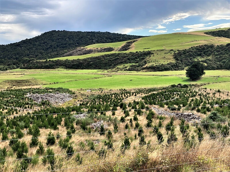
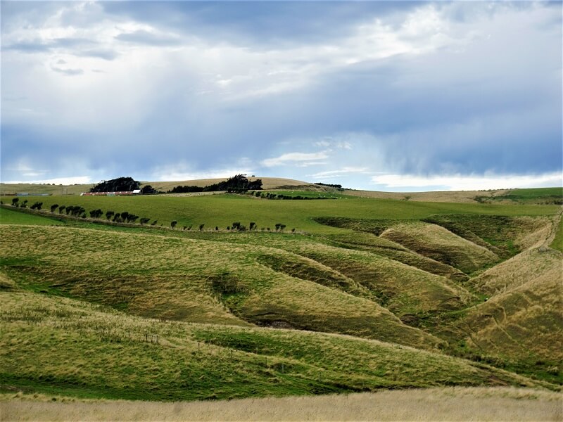
We finally got around to doing our second long driving tour of this lovely land, starting with the Southland. Our plan was to explore this area and drive the Catlins Coastal Heritage trail.
We first drove southwards to Bluff Hill and then further along the interesting Catlins route.
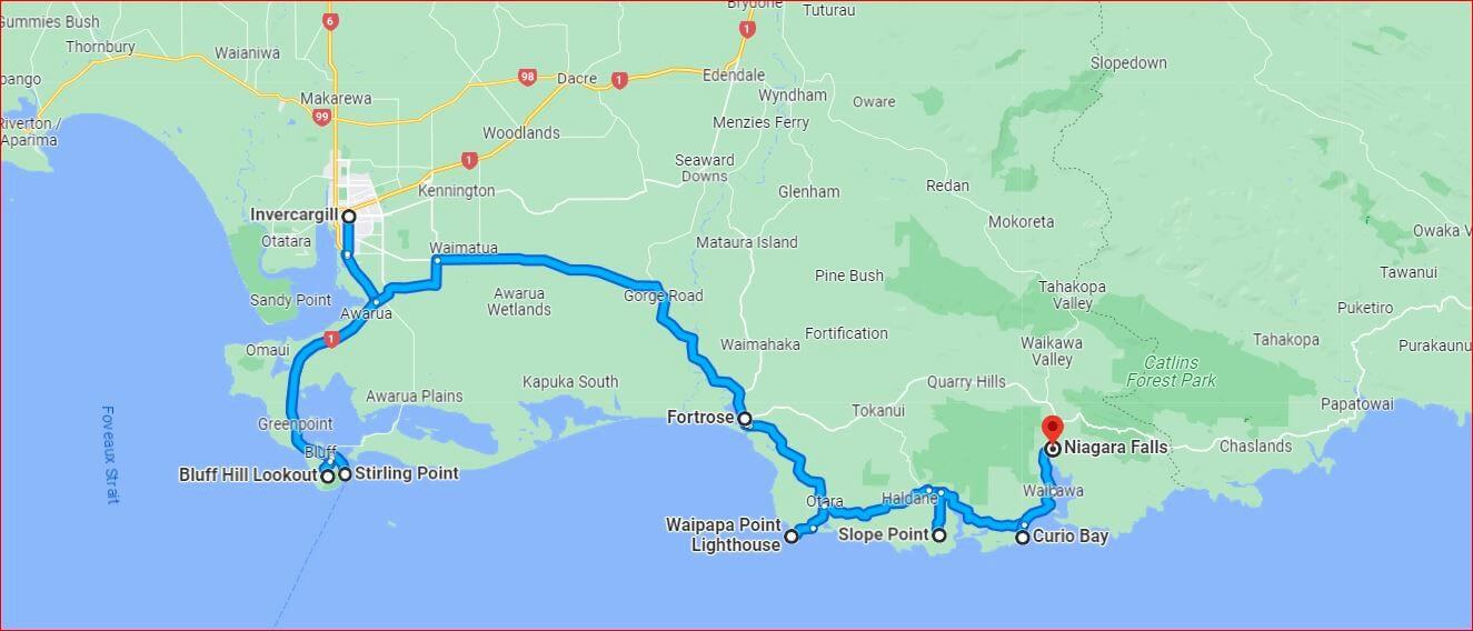
The drive from Invercargill to Bluff Hill was quite picturesque. Bluff hill is a spectacular headland perched on the southern edge of New Zealand with myriad points of interest, lookouts, mountain biking tracks, photo opportunities and a good choice of easy walks through the mainland.
A bonus – this area is rather remote and we saw very few visitors.
Bluff Hill Lookout
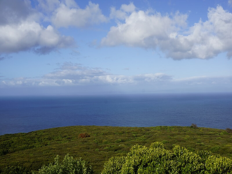
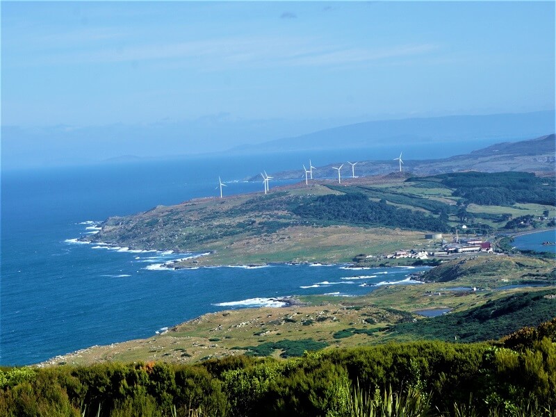
This lookout point offers spectacular views over the Foveaux Strait and the Southland plains. We were lucky to have a clear sunny day and could almost see Stewart Island far away. It was very windy though. There were many informative panels describing the geography, animal life, history and everything else you might like to know about the place.
A number of walking tracks start here following the headland to get different perspectives of the strait and the overall view.
Foveaux Walkway
A totally enjoyable walkway! We walked its entire length and the views were amazing all the way to Stewart and other islands in the distance. It was quite an easy walk except for the strong wind.
Stirling Point
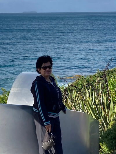
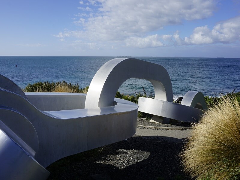
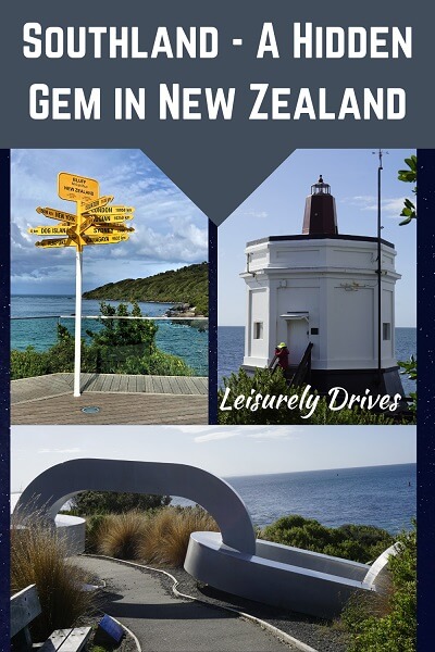
Located on another end of the headland is Stirling Point. A giant steel anchor chain lies on the coast here, created by Southland artist Russel Beck. The chain leads into the sea. We learnt that the other end of the chain, a twin sculpture, lies on the coast of Stewart Island.
The story goes that the chain was installed in 2002 to illustrate the mythological link between the waka (canoe) of Maui and the anchor stone.
The spot near the chain seems to be a popular stop for photos at the southern end of New Zealand.
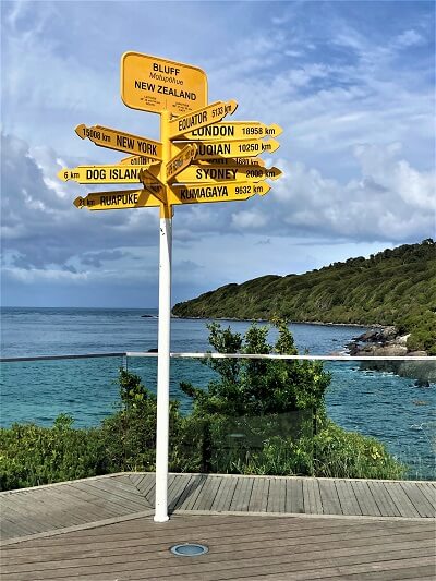
There is a signpost at Stirling Point showing distances to New York, London and other major cities, and a lighthouse with a viewing deck.
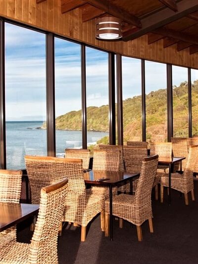
Don’t miss out a visit to the cute Oyster Cove restaurant – located in the perfect place with panoramic views of the sea from its large windows. This might be the best place to taste the famous Bluff oysters while feasting your eyes.
Our next drive was to Catlins coastal route.
Catlins Coastal Heritage Trail is a detour route that takes you off the main ‘Southern Scenic route’- running horizontally in the east-west direction in the Southland region. This trail route has short drives to interesting scenic points and access to a number of walks.
The whole trail including stops and walks would take about 4-5 hours or a whole day if you spend good time in each stop.
This detour route can be driven either from Niagara at one end or from the Fortrose Cemetery, closer to Invercargill.
Highlights in this Heritage trail include remote beaches, waterfalls, rugged coastline, historical buildings and cemeteries, a fossil forest, a bay frequented by Hector’s dolphins, a lighthouse and a museum.
We entered the Catlins trail route from the western end at Fortrose.
Fortrose Toetoes Estuary
Named after Fortrose at Black Isle in Scottish highlands, this toetoes estuary is simply beautiful with its huge area of expansive tidal flats and many shades of turquoise water. Whitebaiting, floundering and trout fishing are the principal recreational uses of this estuary.
Waipapa Point and Lighthouse
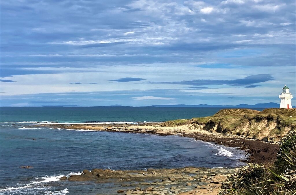
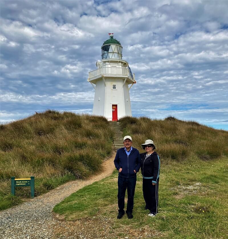
A photogenic lighthouse with steps and a red door. There are signboards with information on the history of New Zealand’s worst civilian shipwreck of steamship SS Tararua back in 1881. We walked to see the ruins of the old lighthouse keepers’ homes. On the way back, we walked across a paddock to see the cemetery for the shipwreck victims.
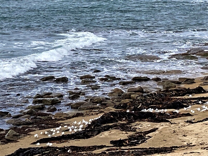
This part of Waipapa is beautiful to go for a walk along the beach depending on the weather. If you are lucky, you might spot seals and sea lions lazing on the beach.
Drive a bit more and you reach the Slope Point.
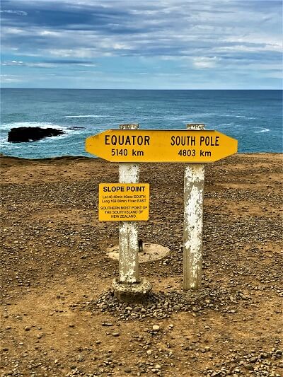
The Slope Point
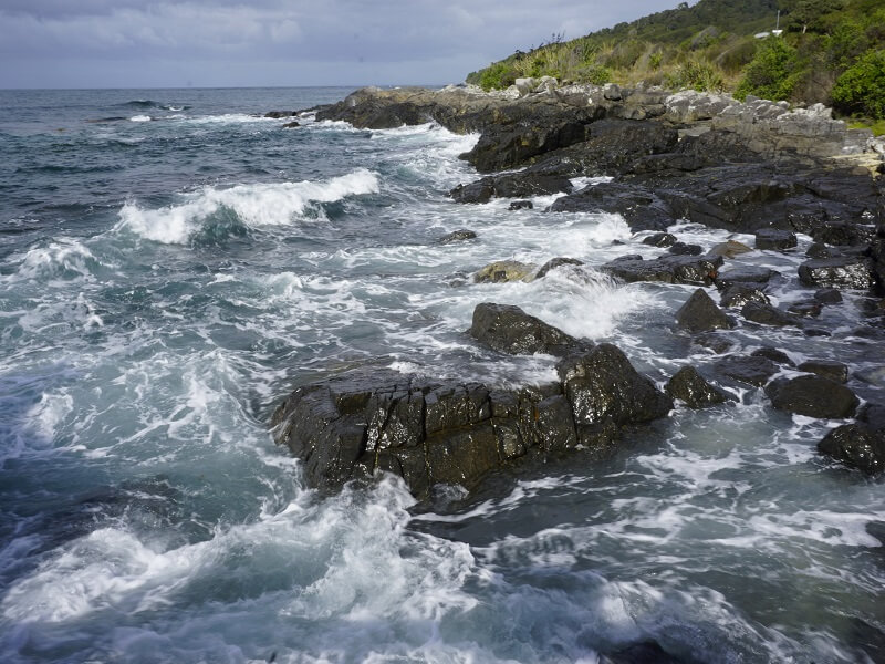
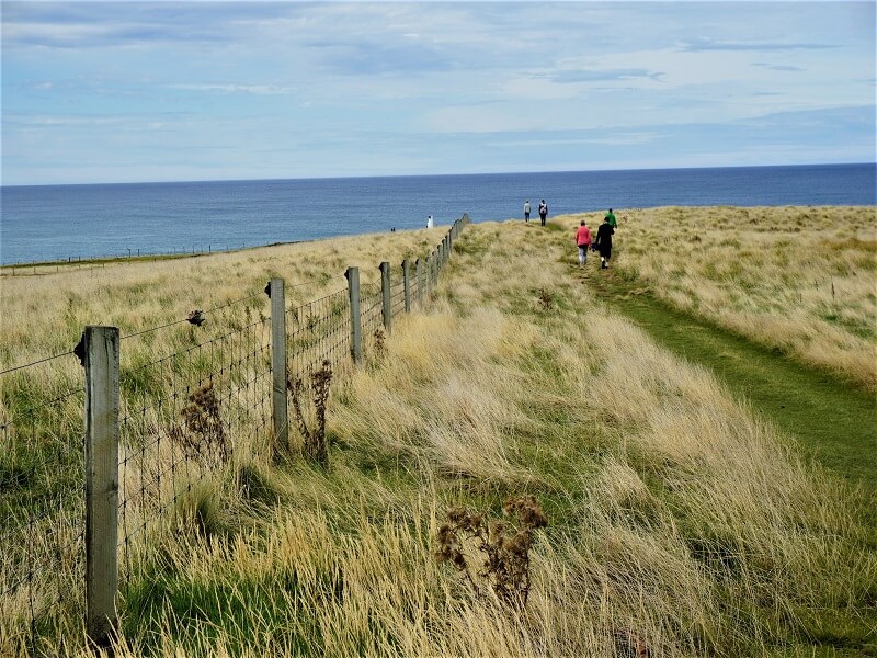
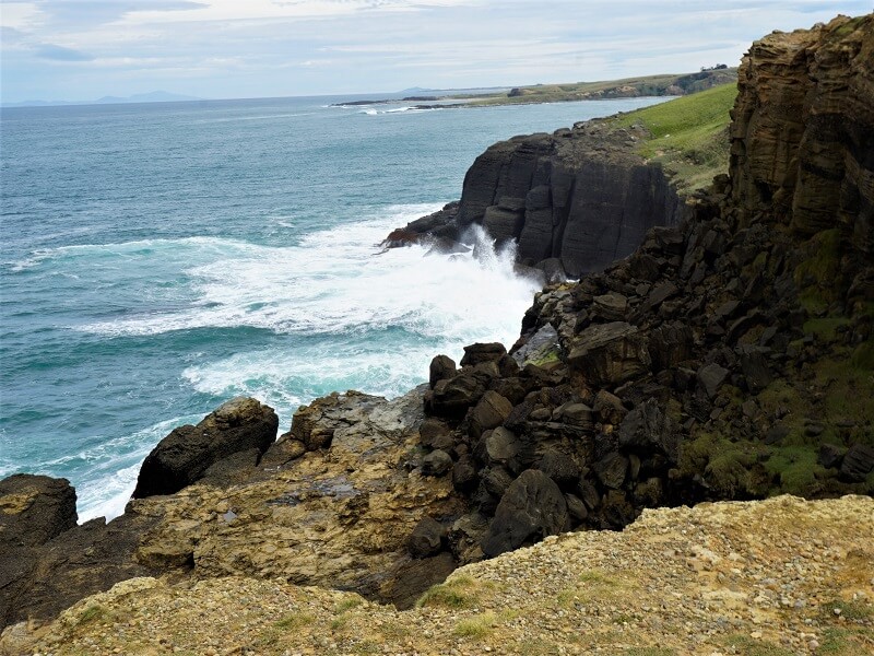
Slope Point is a must-stop that takes you to the most southerly point of the South Island. It is a relaxing walk for about 30-40 minutes through dried grass and bushland to reach the end of the land with a rugged coastline and the slope point signpost. New Zealand offers many escapes for peaceful reflections and slope point is one of the many gems. Enjoy the pristine water views, rocks, waves lashing at the rocks.
Porpoise Bay and Curio Bay
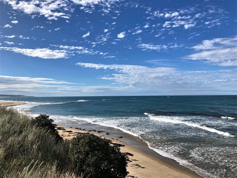
We stopped at Portpoise and Curio bay – home to the rare Hector’s dolphin – world’s smallest dophin.
The nearby Curio Bay had more tourists and has a very interesting background.
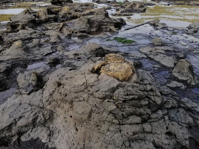
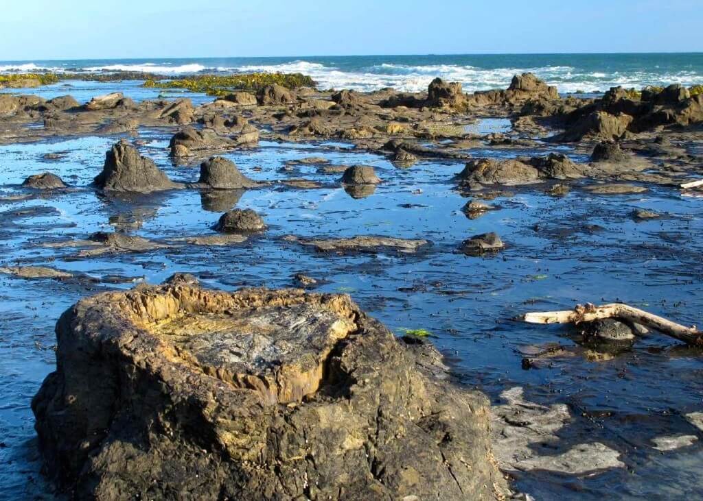
Curio Bay was a forested coastal flood plain many, many years ago. Then the forest was destroyed by a huge volcanic eruption. Over the last 10,000 years the rocks have been eroded by coastal waters and now a beautiful ‘petrified forest’ as it is called now is revealed.
This famous fossil forest with ancient tree trunks and stumps is best viewed at low tide.
It was a sunny afternoon and we spent some time at the Tumu Toka Curioscope. We watched an immersive movie that showed the evolution of the area from Jurassic period to the present time. There were touch-n-feel interactive exhibits – a novel way to learn about the history, forces of nature and life on the coast.
Niagara Falls
Yes, there is a ‘Niagara falls’ here! It seems unfair to have named this small waterfall after the huge Niagara in North America! There is an easy walk here and a good café.
In addition, you also see an interesting concrete horse trough, used by early horse teams.
That’s the end of the Catlins Coastal route.
It was an interesting route to drive on and enjoy the Catlins Coastal Heritage trail. We were happy to have had some good workout for our legs from all those walks, plus some awesome views.
We drove back to the main Southern Scenic route eastwards to our next destination Owaka where more enjoyable experiences awaited us!

We plan to do a long trip to New Zealand one day so I am collecting ideas for places to visit. We will be renting a car so will have to add a road trip around Southland. Love the idea that this area has few visitors. I am sure we won’t miss a stop at Bluff Hill Lookout for those amazing panoramic views. And we will stop regularly for those hikes. It looks like a detour onto the Catlins Coastal Trail should be factored into our planning. Funny that there is a Niagara Falls on this route. But I will go prepared that it is not like the one we have close to Toronto!
This is one rugged and pretty area of New Zealand. I love the waterfalls in the Catlins and am always up for penguin spotting at Curio Bay.
I have visited NZ several times and even though I have been to the South Island, I am yet to go down to the far south as detailed in this post. It is without a doubt somewhere that I want to see as the scenery is stunning.
That’s one picturesque drive. I would enjoy the topography–so unique. I would love to see the petrified forest, the smallest dolphins and the sea lions. That steel anchor at Stirling Point is a great way to connect myth and reality. The walks along all the stops sound lovely.
I like how remote this part of New Zealand looks like. I would love to do a road trip around Southland as well, following the route along the coast to see all these beautiful places. I would like to stop for a while at Curio and try to spot the world’s smallest dolphin. The petrified forest coming out of the water looks so surreal as well. I would also stop for lunch at Oyster Cove restaurant, for that gorgeous view and to try their Bluff oysters.
From the stunning landscapes to the unique wildlife, Southland seems like a paradise for nature lovers like me. I love how you highlighted the breathtaking beauty of places like Porpoise Bay, Niagara, and the Catlins. I can already picture myself taking in the majestic waterfalls, hiking through lush forests, and maybe even spotting some adorable seals or sea lions along the way. And let’s not forget about the delicious local cuisine! The mention of the famous Bluff oysters has my mouth watering. I’m all for trying new and unique flavors, so I’ll definitely be indulging in some local delicacies when I visit.
I was intrigued when I saw Niagara Falls on the map. Seems like the small size of the waterfall made them call it Niagara Falls. Haha. The chain looks interesting and I like the idea behind it. New Zealand is surely a beautiful country.
I lived in New Zealand for 2 years but never made it this far south which I’m gutted about! Curio Bay looks so interesting with the petrified forest and I have never heard of a Hector’s dolphin before (I’ll be hopping straight on to google to see what they look like now!) Thanks for sharing!
There’s no denying that New Zealand is a stunning island nation! Awe-inspiring stops can be made en route to Southland. Each destination offers breathtaking scenery that is ideal for photos. My dream vacation spot is New Zealand, and I hope and pray that I’ll visit there one day!
New Zealand looks so pretty. It seems like there is plenty to see and the landscape is beautiful. The Niagara Falls part threw me off a bit, so thanks for the explanation on that! This was really fun to read. Thanks for sharing.
I didn’t manage to get this far south but have some friends from invercargil. I’d love to hit up the Catlins forest park along the way and think i’d take your advice of giving a day to travel the southland coastal scenic drive so I could stop and do all of those walks. I’m dying to book another trip to NZ now.
I love discovering places that aren’t very touristy. Sounds like a great place!
Southland has a very rugged beauty, doesn’t it? A drive along the coastal scenic road would be epic! Porpoise and Curio Bays seem like a must-do stop to see the world’s smallest dolphins, and I love visiting lighthouses, so I’d be stopping to photograph the Waipapa lighthouse too. Love that red door and dramatic backdrop of moody clouds!
Love that there is a Niagara Falls there! I really want to go to New Zealand and this road trip looks amazing.
What a breathtaking adventure! New Zealand seems like an incredible experience and all these scenes in your photos are simply stunning!